There are five footpaths and one bridleway in the parish. We've also included two paths that are within a whisker of the parish boundary. These are paths on which you may legally walk, and which are legally protected. You cannot deviate from the official path, nor (technically) may you stop for a picnic on the paths.
If you find a problem with any of these paths, such as a broken stile or a path blocked by a new fence, you should report it to Devon County Council.
There is also a permissive path in Avonwick: you may walk on this path for as long as the owners permit public access.
All the maps on this page are © OpenStreetMap contributors. You can download a map of all the paths here.
Square A4 on our free map
OS grid ref. SX 699 561
This public footpath starts from the road between Rectory Cross and Whetcombe Cross in North Huish and crosses fields to the west. It becomes Ugborough 7 at the parish boundary, which continues across the B3196 to Well Cross.

Square C3 on our free map
OS grid ref. SX 714 556
This public footpath starts from the road between Higher and Lower Ford south of North Huish. It follows the line of the drive to Coombe House before crossing fields diagonally uphill, passing through the hedge at a gate and then up the side of the hedge to the public road.

Square C3 on our free map
OS grid ref. SX 718 552
Footpath 5 incorporates one of the steepest paths in the parish, so it's good for a spot of exercise! It starts at the junction of the Butterford Mill - Coarsewell Cross road and the road from North Huish via Ford, follows the edge of the fields southwards, then crosses a field down into the valley to a gate into the woods. The path leads across a footbridge, then climbs very steeply up through Ley Wood to the fields at the top. The path continues diagonally over the fields, across a track and across another field to the county road.

Square D1 on our free map
OS grid ref. SX 728 536
Footpath 6 is one of the most attractive paths, and leads through the woods alongside the River Avon. It begins at Hothole Cottages, near Gara Bridge, and winds its way through the woods to the public road above Stretchney (now styled as Hepburn House).

Square C1 on our free map
OS grid ref. SX 716 539
This short footpath leads from the county road between Ley and Lupridge, across fields to the drive of Luke's Land, from where you can climb up to the busy county road between Colmer Cross and Gara Bridge.

Square C6 on our free map
OS grid ref. SX 712 584
Better known as the Cobbly Walk (we are firmly told that it has never been the 'Cobbly Way'!), this bridleway is a very old and very rare stretch of cobbled road running between Avonwick's old and new bridges. It was originally the main road, before being bypassed by the 'new' road from the 'new' bridge to Woodpecker. The cobbled track was restored in the 1990s, adjusted to deter motorists in the 2000s and repaired in 2022. If you look closely, you can see the ruts left by centuries of cart traffic.

Square C6 on our free map
OS grid ref. SX 711 580
A permissive path links Higher Moor to Blackhall Lane in Avonwick. The path is maintained by Higher Moor's management company. Dogs must be kept on leads on this path.

Square B5 on our free map
OS grid ref. SX 706 578
Just over the parish boundary, this path links Woodland Barton Farm in Avonwick to the road between Avonwick and Sign of the Owl Cross, then continues through Cutwellcombe to Turtley. The Turtley end emerges on the busy Totnes road close to Turtley Corn Mill.

Square A5 on our free map
OS grid ref. SX 698 571
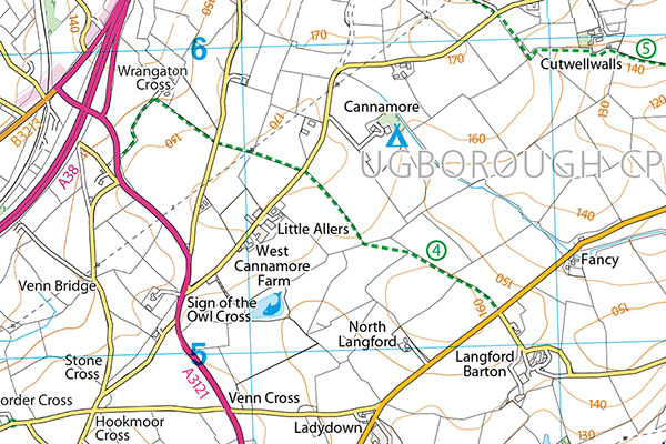
Also crossing the Avonwick - Sign of the Owl Cross road, Ugborough 4 links the Langford Gate junction with the A3121 main road near Wrangaton, and is a useful link between Avonwick and the moor.