Although there are surprisingly few footpaths in the parish of North Huish, don't despair: there are still plenty of places to explore on foot.
For starters, many of the back roads are quiet for most of the day: avoid the key commuting and school traffic times, and you can walk for miles whilst seeing only the occasional vehicle.
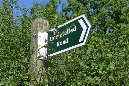
Public paths in the parish include the historic Cobbly Walk, in Avonwick. There are also a number of what are informally knows as 'Green Lanes': public roads that Devon County Council never got round to Tarmacking, which provide mostly traffic-free routes through the countryside.
Unless you have specific permission, the fields and woods in the parish are out of bounds to the public, except on the public footpaths and bridleways. We know there are many other tempting tracks and green spaces... but those areas are just as closed to the public as your own garden!
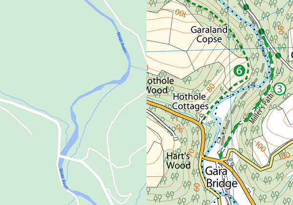
It's worth using a decent map if you are planning a walk away from the roads. To get you started, you can download a free map showing the roads and footpaths in the whole of the parish of North Huish - and a little way around it - which you can print off or keep on a smartphone.
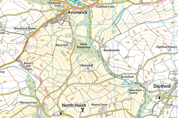
The gold standard maps come from Ordnance Survey. The Ordnance Survey maps for this area are the OL20 Explorer map of South Devon (2.5 inches to the mile) or Landranger 202 map of Torbay and South Dartmoor (1.25 inches to the mile). Avonwick is also on the edge of OL28 Dartmoor.
Built in mobile phone maps probably don't have enough detail for country walks, but you can download dedicated walking map apps. If you buy a paper Explorer map from OS, you can download a digital version free of charge. Ordnance Survey also produce their own apps, and the mostly free walking planner Visorando also includes OS mapping.
Thanks to thousands of volunteers, the OpenStreetMap project has been gradually mapping the world for free since 2004. The area around North Huish has been mapped in considerable detail. This has...
Read more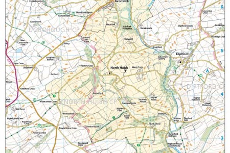
There are five footpaths and one bridleway in the parish. We've also included two paths that are within a whisker of the parish boundary. These are paths on which you may legally walk, and...
Read more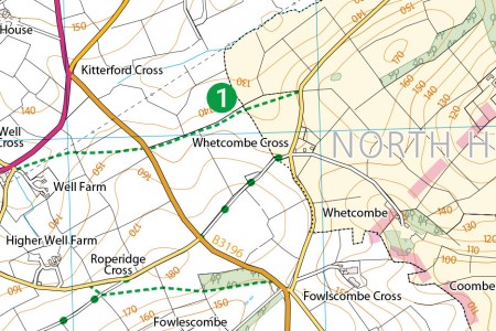
Devon, famously, has more miles of road than any other county in England. It's perhaps not surprising that the County Council never got round to Tarmacking all of them: there are still...
Read more